
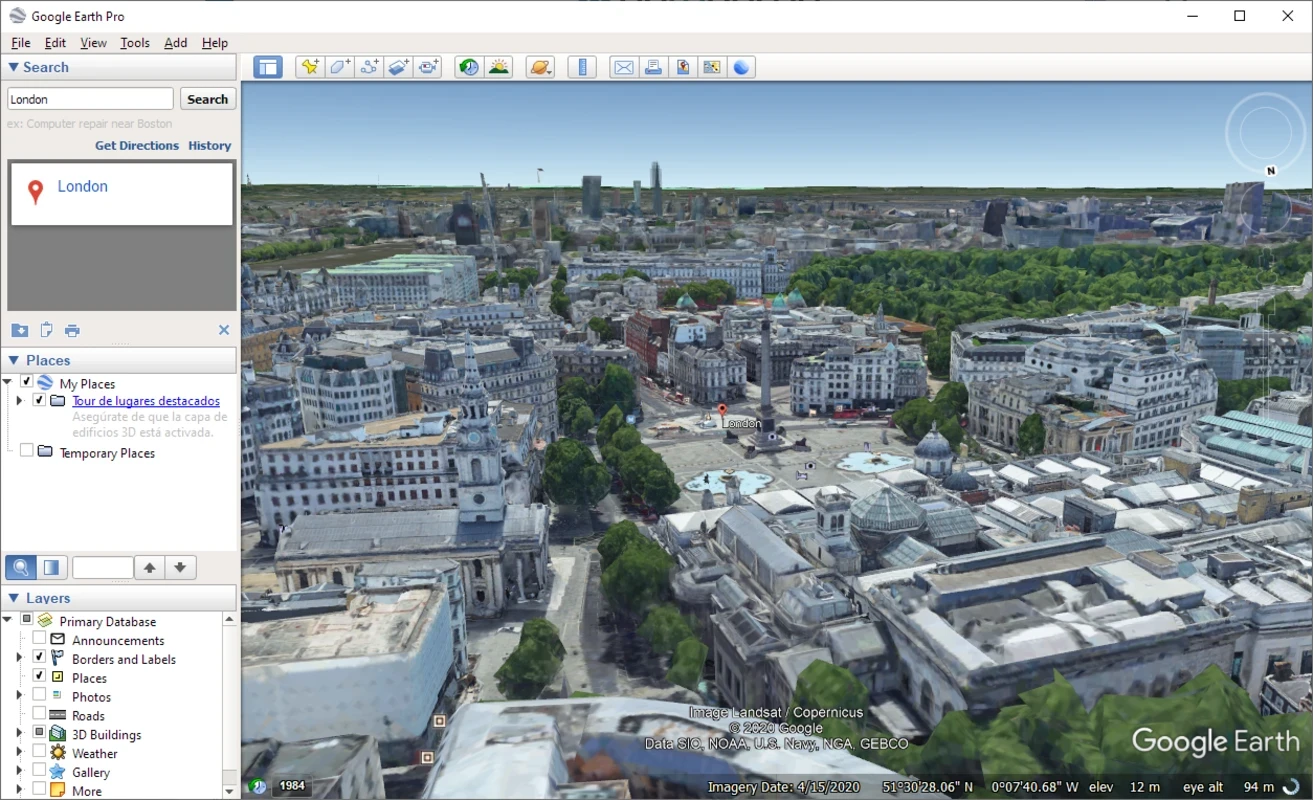
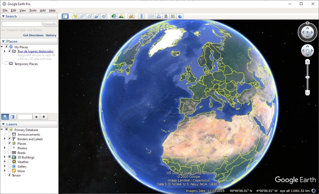
Google Earth Pro is a free-to-use educational and travel tool to offer 3D globe on your screen for deeply and more advanced look of entire planet. It offers an immersive virtual experience, offering high-resolution satellite images, terrain data, and 3D building models. You can easily zoom in on any specific location, such as the Great Wall of China, the Pyramids of Giza, and even your own home.
The powerful utility lets users create maps, record tours, and measure areas, offering an awesome experience of travelling while sitting on your sofa, regardless of whether you are using it for any purpose, such as researching, planning, or just casual sightseeing.
Discover Powerful Viewing and Mapping Features in Google Earth Pro
You can add markers and bookmarks for your desired locations, and even discover the moon and Mars as well. It offers multiple innovative View options for your ease to plan and analyze your travel and other related activities.
- Satellite View offers pictures taken from high places to explore your desired locations. You need only to type the address of a location or a GPS coordinate. It will display even a single house to enable users to get an accurate position, and even others in the neighborhood, and it even gives details of national parks as well.
- Aerial View: this view is like flying in a plane over the location. Compared to Satellite View, it offers thorough information and also allows you to create maps, plan routes, and measure distances as well.
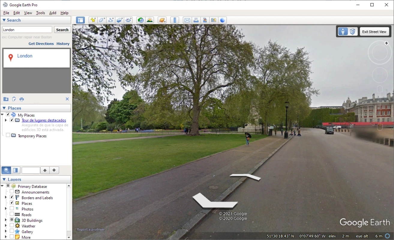
- Street View is not for real-time information, but allows users to study a location while zooming and rotating the view. It is best to narrow down your search, offering every bit that can be missed through Realtor. It is available with a man-labeled icon.
- 3D View offers an experimental position with 3D buildings available on the interface. The feature has a dedicated icon to offer an exciting tour of the interior and exterior of buildings.
Experience Detailed Global Mapping and Terrain Exploration
The app offers awesome services in different scenarios, such as educational, professional, and even recreational. It is equipped with a huge database with regular updates to offer extensive information about the available locations on the globe. It helps you maintain your different plans, such as planning your next vacation spot, as it offers a Detailed Global Geographic Information feature to get detailed information, and also use the Clouds feature to view their movement across 24 hours. Navigating to high-resolution maps will allow to access the intricate details of terrains, ensuring to explore precisely and understand deeply about your desired geographic locations.
Pros
- Supports multiple view options: satellite, aerial, and street
- Supports 3D building view
- Allows you to zoom and rotate the picture
- Supports multiple advanced measurements
- Cross-platform compatibility
Cons
- Slow performance with older devices
- Outdated interface
- Requires a strong internet connection